Dover Publications, 2005. - 31 p.
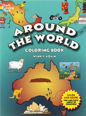
Книжка-раскраска с текстовыми комментариями о 30 странах мира,
карты с названиями крупных городов Мексики, Аргентины, Саудовской
Аравии, Индии,
Испании, Франции, Нигерии и ещё 23 стран, также включены цветные изображения национальных флагов каждой страны. Entertaining, educational home or classroom aid introduces youngsters to 30 countries of the world. Maps with names of major cities in Mexico, Argentina, Saudi Arabia, India, Spain, France, Nigeria, and 23 other nations also include ready-to-color pictures of each country's national flag, landmarks, and natural resources.
Испании, Франции, Нигерии и ещё 23 стран, также включены цветные изображения национальных флагов каждой страны. Entertaining, educational home or classroom aid introduces youngsters to 30 countries of the world. Maps with names of major cities in Mexico, Argentina, Saudi Arabia, India, Spain, France, Nigeria, and 23 other nations also include ready-to-color pictures of each country's national flag, landmarks, and natural resources.

