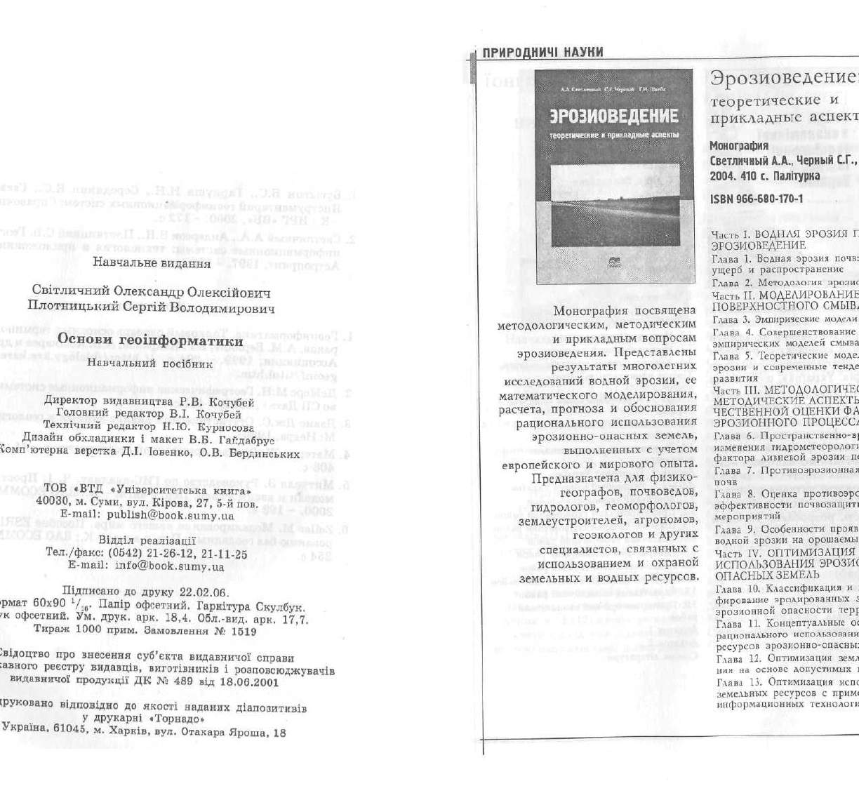
Світличний О.О., Плотницький С.В. Основи геоінформатики: Навчальний посібник
Подождите немного. Документ загружается.


32. Тикунов B.C. Географические информационньїе системи: сущность,
структура, перспективи / Картография и геоинформатика. Итоги
науки и техники (Сер. «Картография»). - М.: ВИНИТИ AH CCCP,
1991. -Т. 14. -С. 6-79.
33. Трофимов A.M., Панасюк М.В. Геоинформационнне систємьі и про
блеми управлення окружающей срєдой. - Казань: Изд-во КазГУ,
1984. - 142 с.
34. Фридланд А.Я., Ханамирова Л.С., Фридланд И.А., Фридланд В.А.
Спринт-Информ: Справочная интерактивная система по информа-
тике. {Per. номер 0220007028 в Гос. регистре баз данннх Научно-
технического центра «Информрегистр». Per. номер 50200000228 в
Информационно-библиотечном фонде РФ.) - 2002. - http://
koi.home. uic.tula.ru/~fridland/PersonalWebPagel.htm.
35. Ярових В.Б. Качество цифрових карт // Йнформационньїй бюлле-
■;і тень ГИС-ассоциации. - М.: ГИС-ассоциация. - 2002. - № 1-2. -
С. 18-21.
36. Abler R.F. Awards, rewards and exellence. Keeping geography alive
and well // Professional Geographer. - 1988. - № 40. - P. 135-140.
37. Bousaren R., Leygonic M. Le programme European CORINAIR // Pollut.
Atmos. - 1989. - Vol. 31, № 124. - P. 445-455.
38. Bracken I., Webster C. Towards a topology of geographical information
// International Journal of Geographical Information Systems. - 1989.
-Vol. 3,№2. -P. 137-152.
39. Burrough P.A. Principles of Geographical information systems for land
resources assessment. - Oxford: Clarendon Press, 1986. - 193 p.
40. Burrough P.A., McDonnel R.A.. Principles of Geographical information
systems for land resources assessment. - Oxford University Press, 1998.
- 333 p.
41. CoPock J.T., Anderson E.K. Editorial review // International Journal
of Geographical Information Systems. - 1987. - Vol. 1, № 1. - P. 3-11.
42. Core Curriculum in GIS / M.F.Goodchild, K.K.Kemp (eds.). - Santa
Barbara: National Center for Geographical Information and Analysis
University of California, 1991. - Vol. 1-3.
43. ETOPO 5. Bathimetry/Topograpy Data. Digital relief of the surface of
the Earth. - Boulder: National Geophisical Data Center, 1988. - 4 p.
44. Global Environment Monitoring System // http://www.gsf.de/UNEP/
gems2. html.
45. Global Recourses Information Database // http://www.gsf.de/UNEP/
grid.html.
46. Goodchild M.F. A spatial analytical perspective on Geographical
Information Systems // International Journal of Geographical
Information Systems. - 1987. - Vol. 1, №. 1. - P. 335-354.
47. Goodchild M.F Geographicv Information Systems // Progr. Hum. Geogr.
- 1988. - Vol. 12, № 4. - P. 560-566.
48. Goodenough D.G. Thematic maPer and SPOT integration with a
geographic information systems // Photogrammetric Engeneering and
Remote Sensing. - 1988. - Vol. 54, № 2. - P. 167-177.
49. Horn B.K.P. Hill shading and the reflectance map // Proc. IEEE. -
1981. - № 69 (1). - P. 14-47.
50. Jackson M.J., James W.J., Stevens A. The design of environmental
geographic information systems // Phil. Trans Roy society. - London,
1990, A324. - № 1579. - P. 373-380.
51. Krcho, J. Georelief and its cartographic modelling by complex digital
model (CDM) from geographical information system (GIS) point of view
// Acta rer. nat. - UC, Geogr., 1992. - P. 3-131.
52. McLaughlin J.D., Nichols S.E. Parcel-Based Land Information Systems
// Surv. and MaP. - 1987. - Vol. 47, № 1. - P. 11-29.
53. Ottens H. Introduction to Geographical information systems. -
University of Utrecht, Lecture at Odessa State University, 1992. - 5 p.
54. PCRaster manual, version 2. - Utrecht: Faculty of Geographical Sciences
Utrecht University & PCRaster Environmental Software, 1998. - 368 p.
55. Pebesma E.J. Gstat user's manual. - Utrecht, The Netherlands, 2001. -
100 p.
56. Pebesma E.J., Wesseling C.G. Gstat: a program for geostatistical
modelling, prediction and simulation // Computers & Geosciences. -
1998. - Vol. 24, № 1. - P. 17-31.
57. SPARTACUS: Spatial redistribution of radionuclides within catchments:
development of GIS-based models for decision suport systems. EC
Contract № IC15-CT98-0215. Final Report. M. Van der Perk,
A.A.Svetlitchnyi, J.W. den Besten and A.Wielinga (eds). - Utrecht
Centre for Environmental and Landscape Dynamics Faculty of
Geographical Sciences, Utrecht University, The Netherlands, 2000. -
165 p.
58. Star J., Estes J. Geographic Information Systems. An Introduction. -
University of California, Santa Barbara, New Jersey, 1990. - 303 p.
59. Tobler W., Chen Z.-T. A quadtree for global information storage //
Geographical Analysis. - 1986. - Vol. 18, № 4. - P. 360-371.
60. Tomlin CD. A Map Algebra // Harvard Computer Graphics Conference,
1983a. - P. 1-46.
61. Tomlin CD. An introduction to the Map Analysis Package. - Springfield,
Virginia, Conference on Resource Management APHcations, Energy and
Environment, Center for Earth Resource Management APHcations
(CERMA), 19836.
62. Tomlin CD. Geographic Information Systems and Cartographic
Modelling. - Prentice-Hall, Inc.: New Jersey, 1990. - 230 c.
63. Vitec J.D., Walsh St.J., Gregory M.S. Accuracy in Geographic
• Information Systems: an assessment of inherent and operational errors
292
293

// Record 9th Symp. Spat. Technol. Remote Sens. Today and Tomorrow. Sioux
Falls, S.D., 2-4 Oct., 1984. Proc. Silver Spring, 1984. -P. 296-302.
64. Zevenbergen L.W, Thorne C.R. Quantitative analysis of land surface topography
// Earth Surface Processes and Landforms. - 1987. - № 12. -P. 47-56.
РЕКОМЕНДОВАНА ЛІТЕРАТУРА
Основна * '
;1. Буснгин B.C., Гаркуша И.Н., Серединин Е.С., Гаевенко А.Ю.
1 Инструментарий геоинформационньїх систем: Справочное пособие.
: - К.: ИРГ «ВБ», 2000. - 172 с.
2. Светличньїй А.А., Андерсон В.Н., Плотницкий С.В. Географические
информационньїе системьі: технология и приложения. - Одесса:
Астропринт, 1997. - 196 с.
Додаткова
1. Геоинформатика. Толковьій словарь основньїх терминов / Ю.Б. Ба-
ранов, A.M. Берлянт, Е.Г. Капралов, А.В. Кошкарев и др. - М.: ГИС-
Ассоциация, 1999. - 204 с. // http://biology.krc.karelia.ru/misk/
geoinf/titul.htm.
2. ДеМєрс М.Н. Географические информационньїе системи,
во СП Дата+, 1999. - 491 с.
3. Дзвис Дж.С. Статистический анализ данньїх в геологии: В 2 кн. -
М: Недра, 1990.
4. Матерон Ж. Основи прикладной геостатистики. - М.: Мир, 1968. -
408 с.
5. Митчелл 3. Руководство по ГИС-анализу. Ч. 1: Пространственнне
модели и взаимосвязи: Пер. с англ. - К.: ЗАО ECOMM Co; Стилос,
2000. - 198 с.
6. Zeiler M. Моделирование нашего мира. Пособие ESRI по проекти-
рованию баз геоданньїх: Пер. с англ. - К.: ЗАО ECOMM Co, 2004. -
, 254 с.
294
295
■ М.: Изд-

