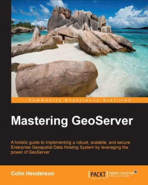
Packt Publishing, 2014. — 420 p. — ISBN-10: 1783287691, ISBN-13:
978-1783287697.
GeoServer является картографическим сервером с открытым исходным кодом, который среди многих прочих возможностей, реализует следующие спецификации OGS: WMS, WFS, WCS.GeoServer реализует спецификацию WFS-Transaction (в отличие от MapServer). Это означает, что используя GeoServer, вы можете не только получать данные для построения на их основе собственных карт, но также редактировать полученные данные с последующим автоматическим обновлением исходной информации на сервере. GeoServer создан на основе Geotools: набора инструментов, написанных на Java. Whether you have used GeoServer before or are just starting out with it, this book will give you the skills and knowledge to unlock the value of your spatial information and deliver great looking maps. This book will take you on a jouey from installing GeoServer in a production environment through to securing and optimizing it so it's ready for use. Along the way, you will lea how to optimize your raster data for efficient delivery, exploit data stored in a spatial database, style data to create great looking maps, use GeoServer as a proxy, create scripts to perform spatial analysis, and monitor the health of your server. Consequently, if you are looking to unlock the potential of GeoServer to deliver powerful desktop and mobile web mapping solutions that exploit spatial and location-based data, the tutorials inside this book will meet your needs for a detailed solution. What You Will Lea:
Install GeoServer in a production environment to make it robust and scalable;
Optimize and exploit your vector and raster datasets from a range of data storage options;
Serve data that conforms to complex schemas;
Utilize proxy data requests to enhance server capabilities or secure data services;
Create great looking maps through alteative approaches for styling and web printing services;
Exploit the spatial analysis capabilities of GeoServer through scripting;
Integrate GeoServer in your corporate security mechanisms;
Monitor the performance and health of your GeoServer instance and optimize it for the production phase. Exploit the power of GeoServer to provide agile, flexible, and low total-cost community projects.
Explore the many different ways that vector and raster data can be exploited to deliver great looking maps.
Extend GeoServer's functionality by understanding techniques to work with advanced production system configuration, monitoring, and security. Who This Book Is For
If you are a GIS professional who intends to explore advanced techniques and get more out of GeoServer deployment rather than simply delivering good looking maps, then this book is for you. Формат книги совместим с iPAD и Amazon Kindle, на PC открывается многими бесплатными ридерами, например Cool Reader (EPUB), Calibre (EPUB, MOBI, AZW3), Adobe Digital Editions (EPUB), FBReader (EPUB, MOBI, AZW3).

